
Law Enforcement
Operations Platform
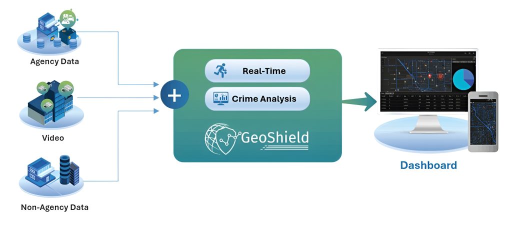
GeoShield unifies CAD, AVL, RMS, LPR, video and non-agency data into actionable intelligence that accelerates response and prevents crime
Our Products

GeoShield Real-Time Dashboard
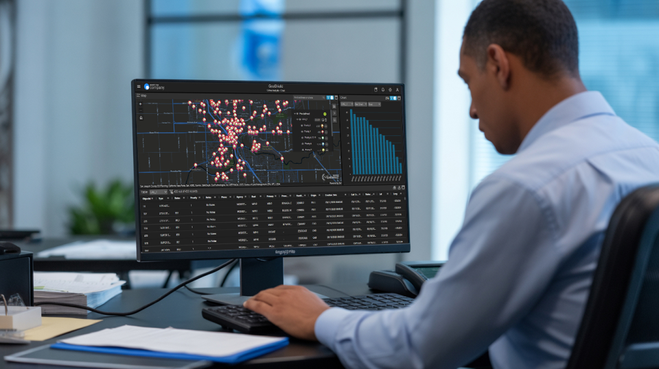
A force multiplier that unifies operations, accelerates response, and puts an app on every officer’s phone for enhanced safety.

GeoShield Crime Analysis Dashboard
Prevent crimes before they happen with intelligence-led policing.

GeoShield Insight Dashboard
GeoShield Insight Instantly distribute BOLOs, crime alerts, and operational priorities to all personnel in real-time.


GeoShield Mobile App
Enhanced situational awareness on mobile devices through live video, active calls and critical alerts.
GeoShield ArcGIS Pro Add-In
Maximize your Esri investment with specialized law enforcement analytics.
FAQ
What is a law enforcement operations platform?
A law enforcement operations platform is a unified system that integrates CAD, AVL, RMS, LPR, and live video into one interface. GeoShield delivers operational intelligence by combining these law enforcement systems on an Esri-powered map, helping agencies accelerate response, coordinate resources, and prevent crime across daily police operations.
How does GeoShield help my department run daily operations more smoothly?
GeoShield pulls all your scattered data sources into a single, map-based view, so officers and command staff see what’s happening in real time. Instead of switching between systems, everyone works from the same operational picture, which speeds up decisions and keeps your whole team coordinated.
What makes GeoShield different from other police operations management platforms?
GeoShield is the only law enforcement data integration platform with native Esri ArcGIS integration. It unifies CAD, AVL, RMS, LPR, and video into location-based decision intelligence rather than isolated feeds. This geographic foundation lets agencies analyze operations spatially, setting GeoShield apart from conventional police operations management platforms.
What data sources does GeoShield integrate?
GeoShield integrates six core law enforcement data sources: CAD (computer-aided dispatch), AVL (automatic vehicle location), RMS (records management), LPR (license plate readers), live video streaming, and non-agency data. These feeds combine into one operational intelligence platform powered by Esri ArcGIS mapping.
Ready to Transform Your Operations?
Contact us today to schedule a briefing and see how GeoShield can enhance your law enforcement capabilities