

Blog
Find insights, blogs, case studies, and expert perspectives on crime analysis, public safety technology, and intelligence-led policing to help agencies make smarter, data-driven decisions.

Choosing a law enforcement platform comes down to five things: confirmed data integration with your existing CAD, RMS, AVL, and video systems, CJIS Security Policy

A law enforcement GIS can begin with basemaps and parcel layers, then expand to include computer-aided dispatch (CAD), records management system (RMS), license plate reader

There’s a scenario that plays out in departments everywhere. An officer gets dispatched to a shots-fired call. Dispatch has partial information. The sergeant is pulling

Ask most residents what crimes happened in their neighborhood this month. Most can’t tell you. Not because they don’t care – because no one told

The moment an officer steps out of a patrol car, something shifts. The radio crackles. The CAD screen is back in the vehicle. And whatever
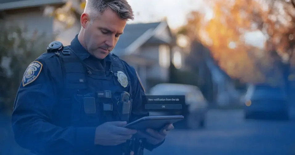
Monday morning. Your crime analyst sits down, logs into the RMS, pulls the weekend incident reports, then opens CAD, then checks the LPR hit log,
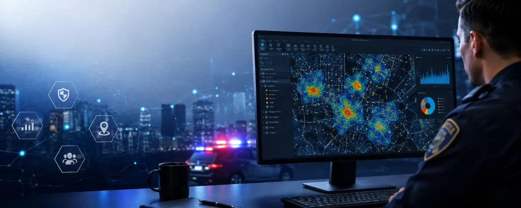
Most crime analysts will tell you the same thing: the analysis itself isn’t the hard part. It’s everything before it. Pulling incident data from CAD.

It’s 2 AM. An armed robbery just occurred. Your patrol officers need the suspect’s history from RMS. Your detectives need video footage from nearby cameras.

It’s 2:30 AM. Your patrol supervisor calls about a domestic violence situation that just escalated to shots fired. Three officers are tied up on overtime