
GeoShield
ArcGIS Pro Add-In
Force-Multiplier for Advanced Spatial Analysis
Maximize your Esri investment with specialized law enforcement analytics. Query GeoShield datasets directly in ArcGIS Pro and leverage advanced spatial analysis tools for comprehensive crime analysis and pattern recognition.
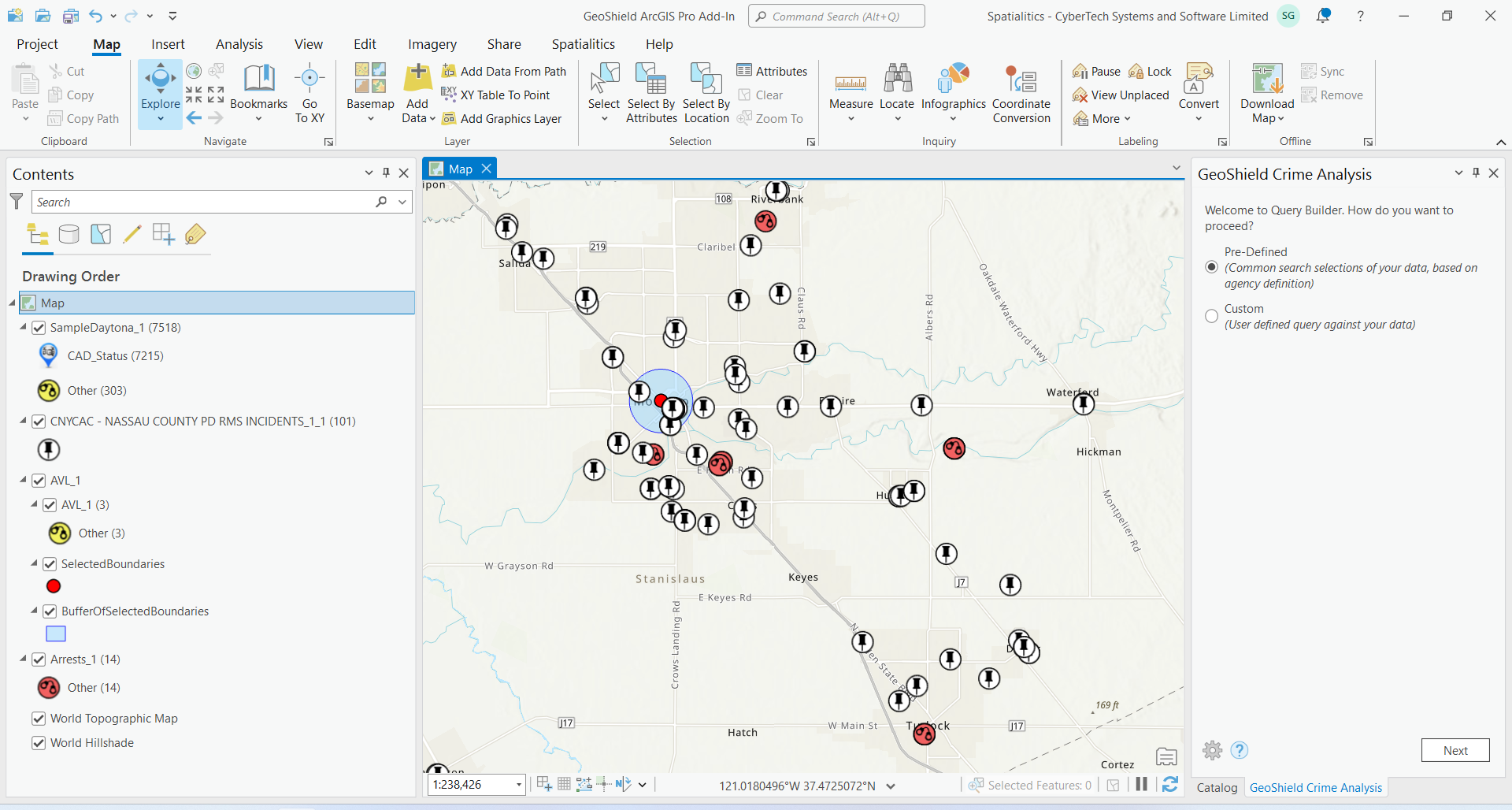
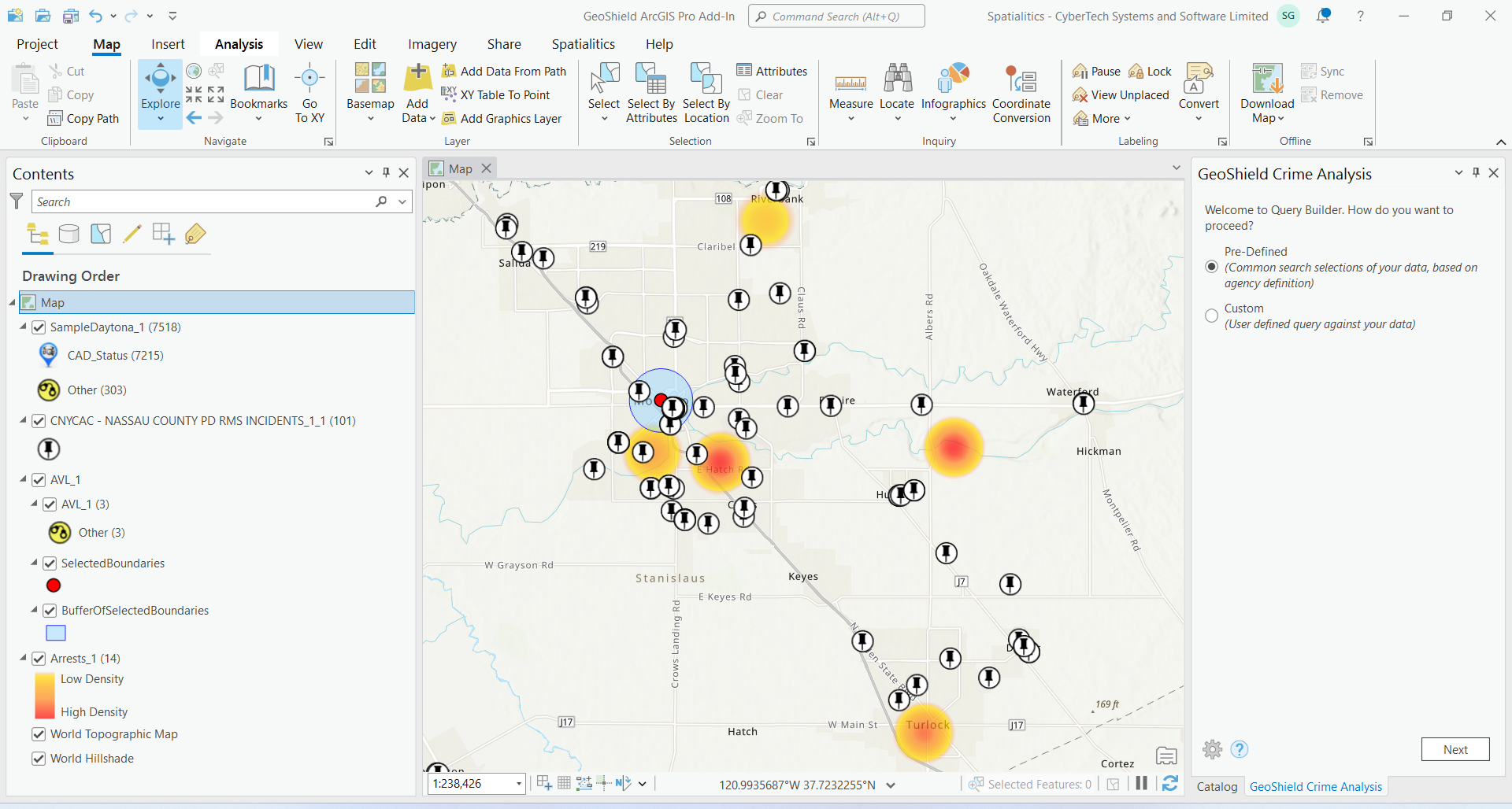
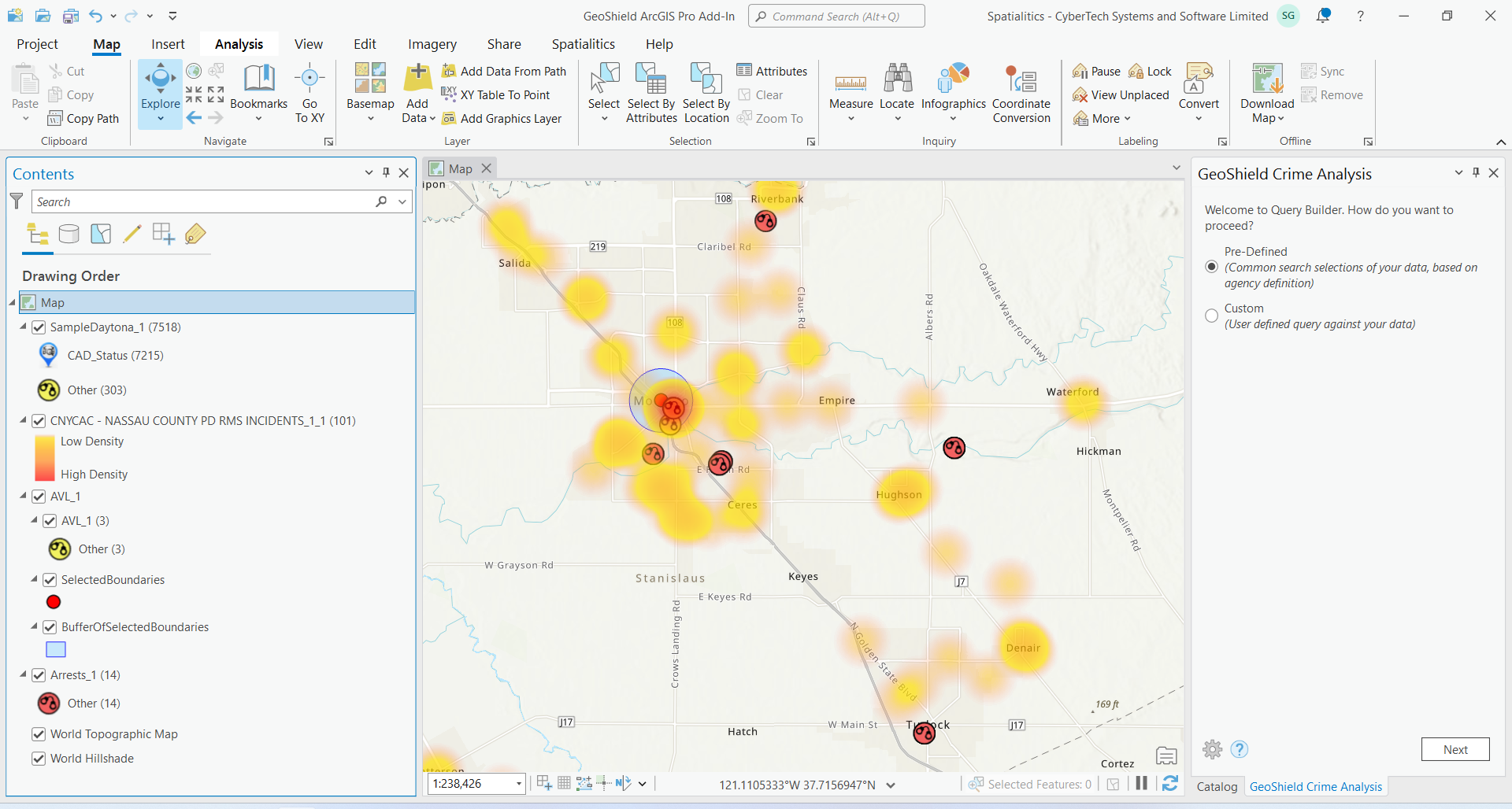
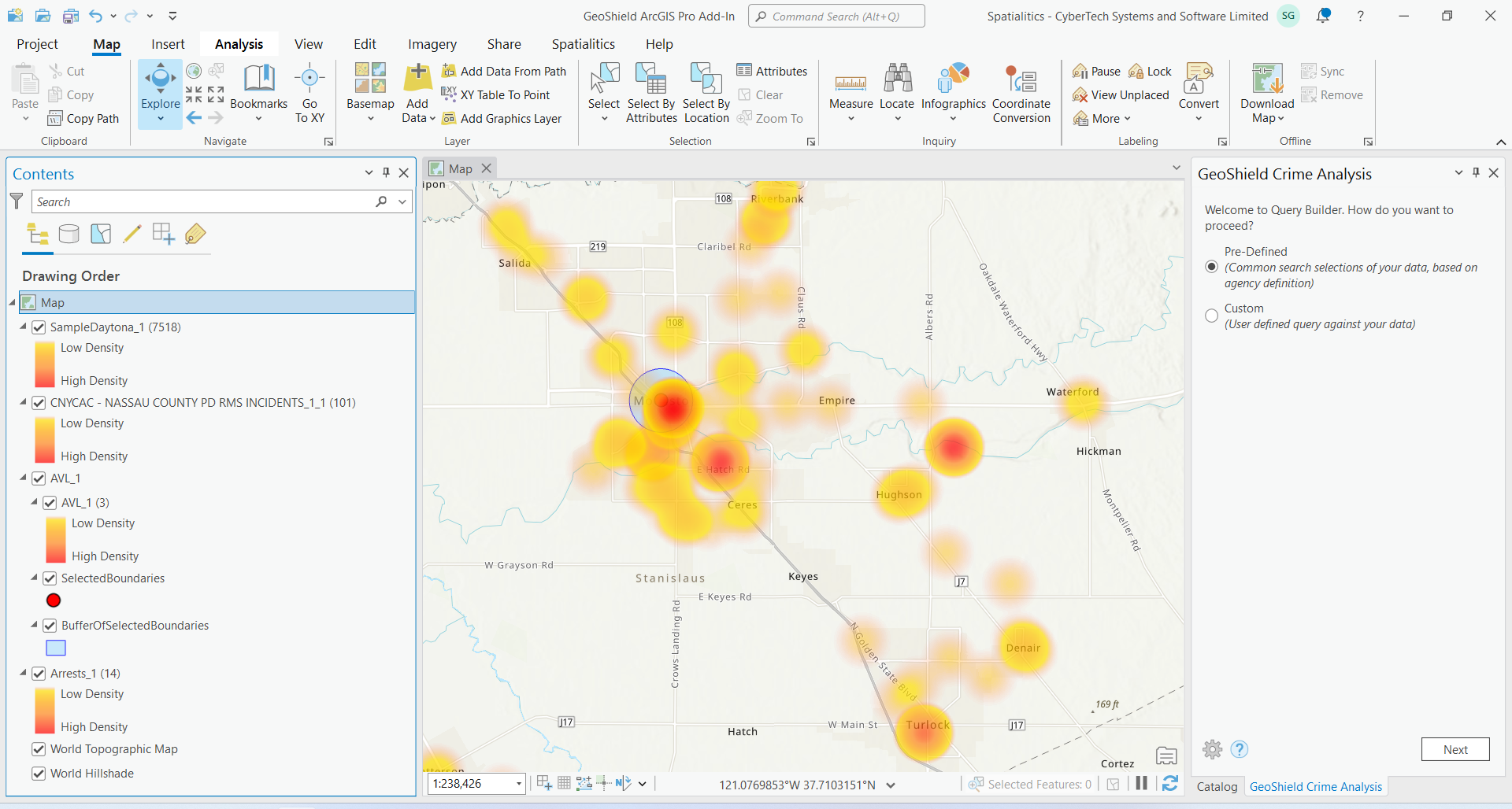
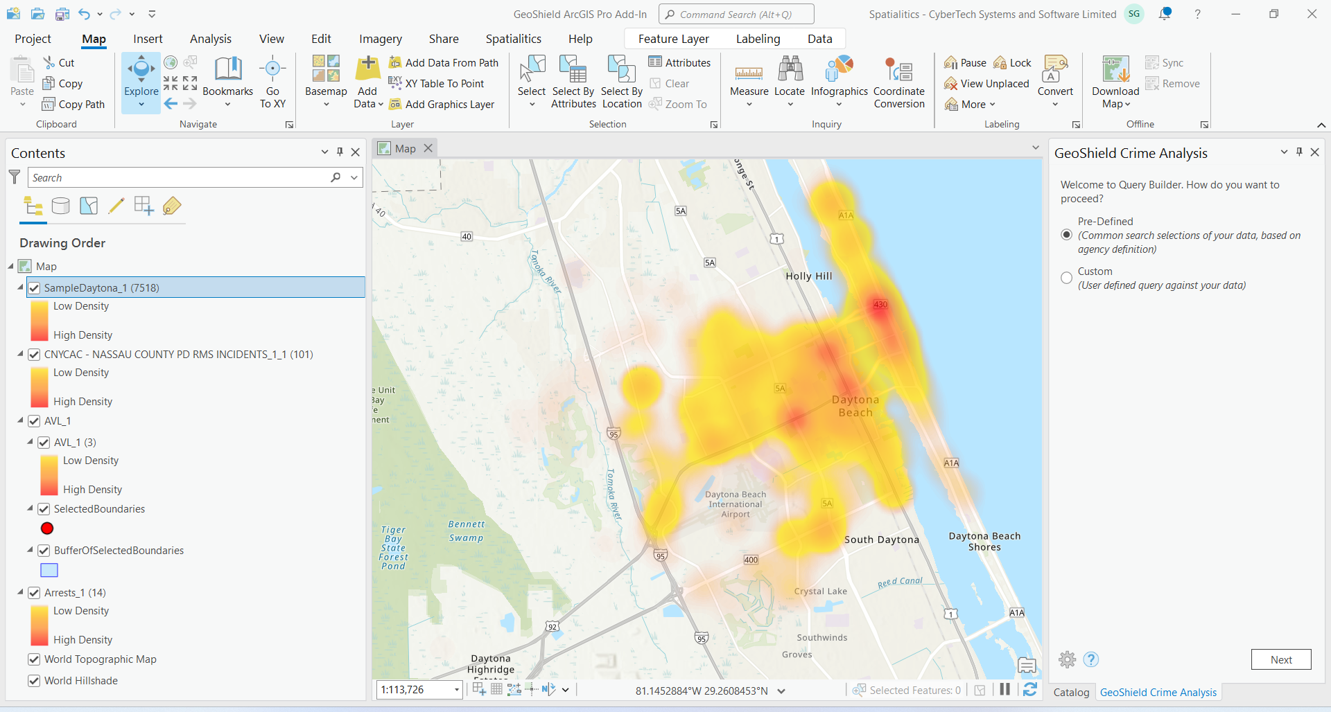
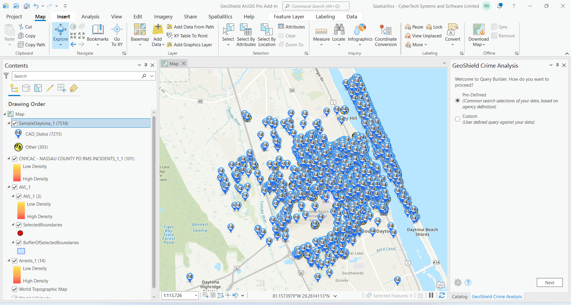
Features
Kernel density maps for crime hotspot analysis
Link analysis to display the relationship between layers
Temporal visualization with chronological animation
Choropleth maps for district-level analysis
Directed patrol area drawing with notes
Repeat calls analysis at the same addresses
Format and design presentation-quality maps
FAQ
What is the GeoShield ArcGIS Pro Add-In?
The GeoShield ArcGIS Pro Add-In is a law enforcement tool that brings specialized crime analysis into Esri ArcGIS Pro. It lets analysts query GeoShield datasets directly and run advanced spatial crime analysis — including kernel density hotspot mapping, link analysis, and pattern recognition — inside their existing GIS environment.
Do I need to leave ArcGIS Pro to run crime analysis?
No. The GeoShield add-in works right inside ArcGIS Pro, so your analysts query GeoShield data and run hotspot and pattern analysis without switching tools. It maximizes your existing Esri investment by adding law-enforcement-specific analytics to the GIS software your team already uses.
What spatial analysis tools does the GeoShield ArcGIS Pro Add-In offer?
The add-in offers kernel density maps for crime hotspot mapping, link analysis between layers, temporal visualization with chronological animation, choropleth maps for district-level analysis, directed patrol area planning, and repeat-call analysis. These GIS crime mapping tools support comprehensive spatial crime analysis inside ArcGIS Pro.
What can you do with GeoShield's ArcGIS Pro crime analysis add-in?
With GeoShield’s ArcGIS Pro add-in you can create kernel density hotspot maps, run link analysis, animate crime chronologically, build choropleth district maps, plan directed patrol areas, analyze repeat calls, and design presentation-quality maps for CompStat briefings — all within Esri ArcGIS Pro.
Ready to Transform Your Operations?
Contact us today to schedule a briefing and see how GeoShield can enhance your law enforcement capabilities