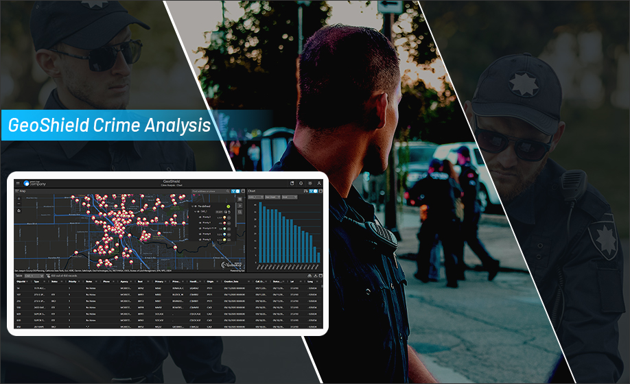
GeoShield Crime Analysis (CA) - A unique data-driven solution for law enforcement agencies that require accurate and actionable crime data. Our platform consolidates internal (CAD, RMS, etc.) and external (parole, probation, etc.) data sources into a single Esri based mapping dashboard, allowing end-users to geographically visualize historical crime data to help solve and prevent crime.

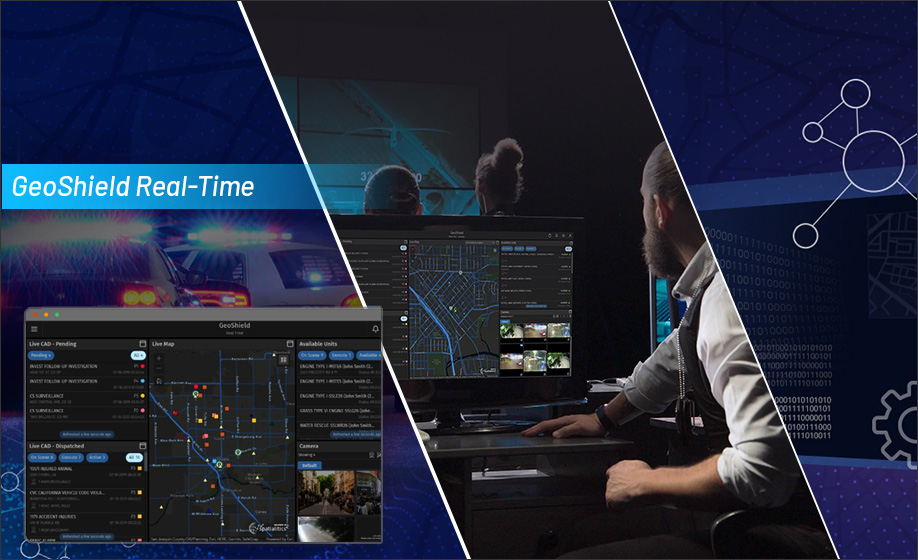
GeoShield Real-Time (RT) is a cloud-based map interface that delivers timely, actionable intelligence for officers in the field. Active Calls for Service (CFS), GPS enabled vehicles (AVL), live video streaming (VMS), License Plate Reader (LPR) and more, are all displayed in real-time to respond quickly and effectively to an incident.

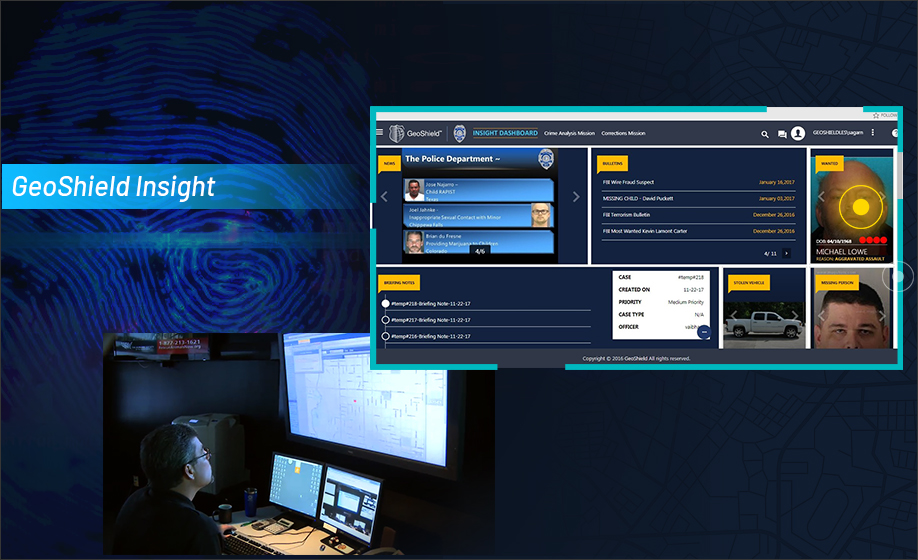
GeoShield Insight is designed specifically for patrol officers, supervisors, and command staff, providing them with the information and tools they need to effectively carry out their duties. It is designed to be user-friendly and easily customizable, ensuring that it meets the unique needs of your agency.

